Geographic Information Systems

Build knowledge and skills in the world of GIS
 Certificate Overview
Credits 28
Duration 4 quarters*
Next Start Term

Fall quarter 2023

Location

In-person on Olympia campus.

Schedule

In 2022-23 academic year: Tuesdays and Wednesdays 6 - 8:50pm. 

Schedule for 2023-24 academic year to be determined.

Cost

$30 - $60 enrollment fee plus tuition. See Academic Certificate Costs and Aid for more information about tuition. 

What you'll learn

This certificate introduces you to the exciting and expanding world of geographic information systems.

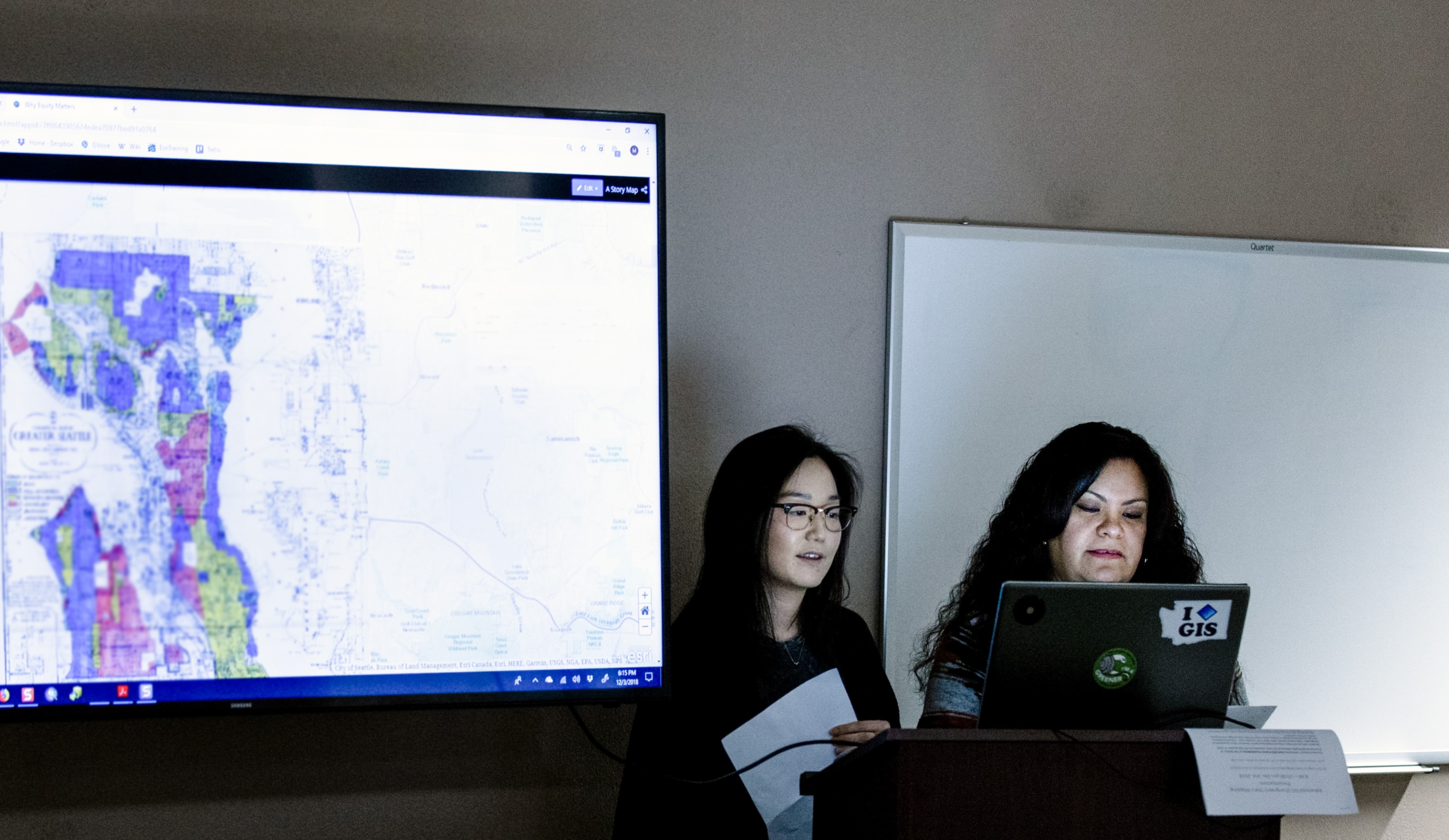
GIS is a rapidly-growing field with wide applicability around the world. Government agencies and companies use GIS to manage large spatial databases, generate maps and apps, conduct spatial analysis and support decisions. In business, science, and policy, GIS informs the allocation of assets, tradeoffs between alternatives, environmental risks, and many other issues.

In this certificate program, you’ll learn principles of geography and tools of spatial analysis to understand the connections between physical, cultural, historical, and other properties of the environment. You will also learn to create maps and interactive apps including interactive map viewers, 3D scenes, story maps, and dashboards.

*In order to complete this certificate in one year, students should take two courses each quarter and begin coursework in fall.  This will meet the prerequisites for student to be ready to take the final summer course, GIS: Field Research Project.  Students seeking the certificate over two years have more flexibility and can benefit by prioritizing the first three courses in the sequence during the first year (Intro and Principles, Mapping with ArcGIS Pro, and GIS with Remote Sensing Imagery).

Certificate prerequisites

The Field Research and Field Data Collection courses will require fieldwork to conduct investigations and collect data. 

To earn this certificate, students are required to earn upper division science credit in GIS with Remote Sensing Imagery and GIS: Field Research Project. Upper division science credit is considered to be junior-senior college level work. Other colleges/universities often use course numbers 300-499 to signify that a course is upper-division.  While you may be eligible to receive upper division credit in GIS for Field Data Collection, it is not required to earn the certificate.

Certificate coursework

This certificate consists of 28 undergraduate credits.  The following courses must be taken in sequence:


The following courses are required for the certificate, and may be taken concurrently with, prior to, or after completion of the course sequence above:


After completion of the 6 courses above, students can take the culminating course:

*STUDENTS ARE REQUIRED TO EARN UPPER DIVISION SCIENCE CREDITS IN THESE COURSES TO EARN THE CERTIFICATE.

GIS: Introduction and Principles

Discover new ways of thinking about geography, the physical landscape, and social and policy issues while you learn the techniques of map making.

Weekly hands-on lab exercises will guide you through the process of integrating data into maps that communicate geographic concepts. You’ll learn how to use ArcGIS, the global leading software in computerized geography used in nearly every federal, state, county, and city agency (and increasingly in businesses and non-profit organizations).

GIS: Mapping with ArcGIS Pro

Learn how to use ArcGIS Pro to serve the needs of an organization. Hands-on lab exercises will show you to use this powerful software to manage spatial and non-spatial resources, including:

  • US Census Bureau
  • GPS satellites
  • Online atlases
  • The national map
  • Other public GIS data repositories

Discover advanced techniques in ArcGIS Pro and gain experience that will position you to use this software in a professional setting.

Students must complete and earn full credit in GIS: Introduction and Principles before taking this course.

GIS with Remote Sensing Imagery

Learn to interpret overhead imagery and integrate it into GIS. This course will cover topics ranging from the physics of light to forest types so you can evaluate imagery from satellites, aircraft, and drones to monitor and analyze the environment and landscape.

You’ll get hands-on experience that will prepare you for work in the fields of environmental study, climate change, and more.

Students must complete and earn full credit in GIS: Mapping with ArcGIS Pro before taking this course. 

GIS Mapping in Excel

Develop essential spreadsheet skills while learning to make maps in Microsoft Excel with ArcGIS for Office. Start at the beginning with Excel and work your way toward more advanced functions that will build your competence with this foundational GIS tool.

There is no prerequisite GIS or Excel knowledge for this course. 

GIS: Publishing Story Maps and Apps

This course will teach you to combine spatial data with narrative text, photos, video, and audio that will turn your maps into stories. You’ll learn how to enhance your web maps for users by giving them access to interactive tools, letting them explore layers, data, and map context at their own pace.

Story maps are increasingly used across state and local governments (as well as businesses and non-profits) to explain the benefits of policy initiatives to the public.

GIS for Field Data Collection

Learn to take GIS out of the office and into the field with your smartphone. In this course, you’ll discover how to design and deploy mobile software to populate a GIS database and how to use survey results to create maps and perform spatial analysis.

Fieldwork will be required to conduct field investigations and collect data. 

GIS: Field Research Project

This is the final course in Evergreen’s GIS certificate. In this course, you’ll get to select a topic of personal interest and develop a related mapping project. Work in this course will rely on all the skills you’ve gained as you execute your project from the planning phase to presentation. By the end of this course, you’ll have a map for your portfolio to improve your career prospects in the GIS field.

Fieldwork will be required to conduct field investigations and collect data. Student must complete and earn full credit in all other courses in the GIS certificate before taking this culminating course.

Questions? 

Email certificates@evergreen.edu