Explore This Section
Maps and Driving Directions
Evergreen Olympia Campus
2700 Evergreen Parkway NW
Olympia, WA 98505
Olympia Area and Campus Maps
Area Map and Detailed Campus Map (PDF, 750 KB) (Includes Driving Directions)
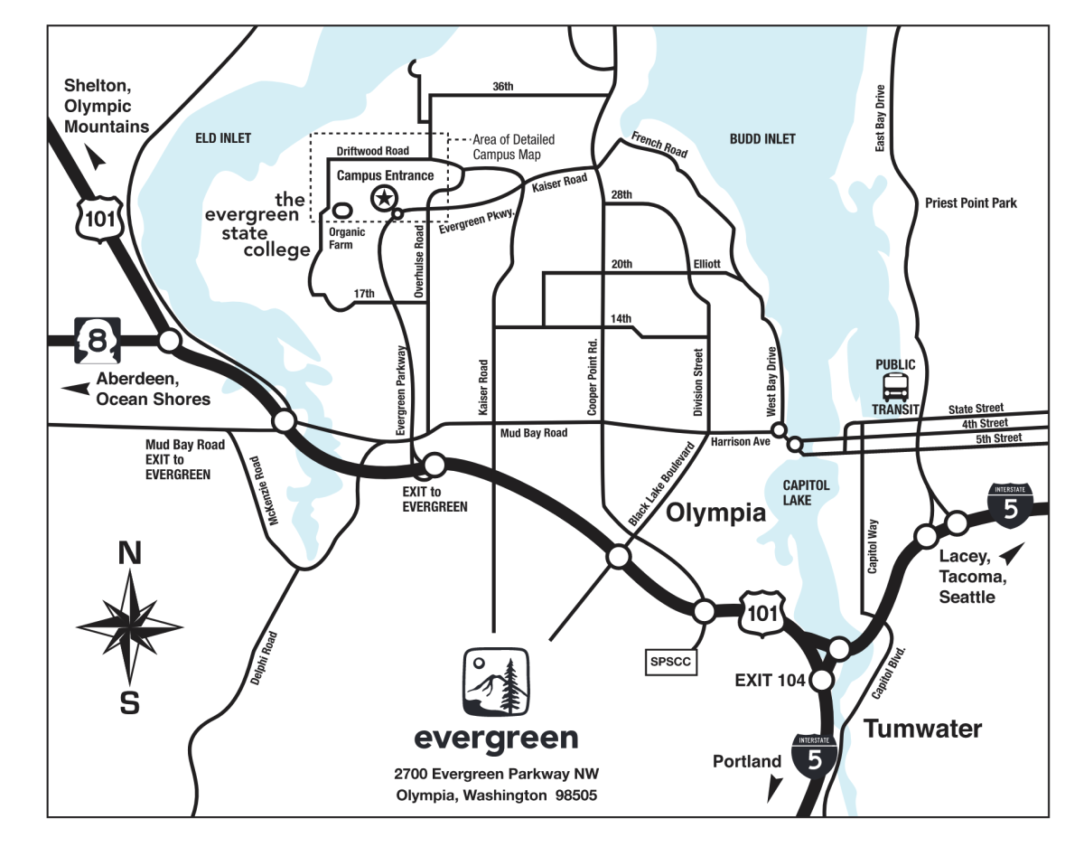
Olympia area map
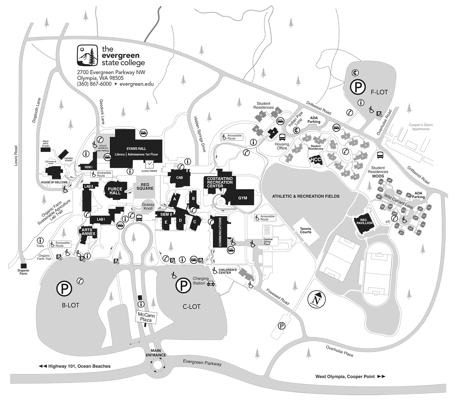
A detailed map of the Evergreen Olympia campus
Driving Directions
From north or south
- Take Interstate 5 to Olympia.
- Turn onto Highway 101 at Exit 104.
- Go west on 101 North for three miles.
- Take The Evergreen State College exit.
- Go two miles north on the Evergreen Parkway to the main campus entrance (at the roundabout).
From the west
- Go east on Highway 101 North toward Olympia.
- Take the Aberdeen/Shelton exit.
- Turn left at the stop sign onto 2nd Ave SW, which becomes Mud Bay Road.
- Follow the road's curve to the right and continue up the hill.
- At the hill's top, just beyond the overpass, turn left at The Evergreen State College exit.
- Merge onto Evergreen Parkway.
- Go two miles north to the main campus entrance (at the roundabout).
Transit
We're sixty minutes south of the Seattle-Tacoma International Airport. Olympia is also served by Greyhound and Trailways bus companies, Amtrak trains and Local Shuttle Services.
Intercity Transit Bus Routes connect Evergreen with other parts of Thurston County, Mason County, Grays Harbor County, Tacoma and Seattle.
Evergreen and the State Capital Campus are a short, scenic drive from most Western Washington cities and major points of interest.